
Probably the most frequent question I get asked by those wanting to walk, run or cycle the Royal Canal is which side of the canal should I be on? As a rule of thumb I would always advise people to follow the National Famine Way Signs along the route but below is a list of the 18 crossings and the distance between them from the Sea Lock at the Liffey to the 46th Lock near the Shannon to ensure you are on the correct side to avoid dead ends, backtracking and detours.

The route is certainly easier to navigate today, especially after the opening of the Royal Canal Greenway than it once was. As the route increase in popularity it is worth watching this short clip from the Hayden Collections about a group of Royal Canal Amenity Group (RCAG) members who took on to walk it in 1981.
As the canal mainly runs from east to west I will refer to being either being on the North Bank (the canal is on your left as you face west away from Dublin) and the South Bank (the canal is on your right as you face west away from Dublin). This is correct as of August 2020 when the Royal Canal Greenway has been completed from Maynooth to Cloondara and the connection from Sheriff Street to Newcomen Bridge has also opened.

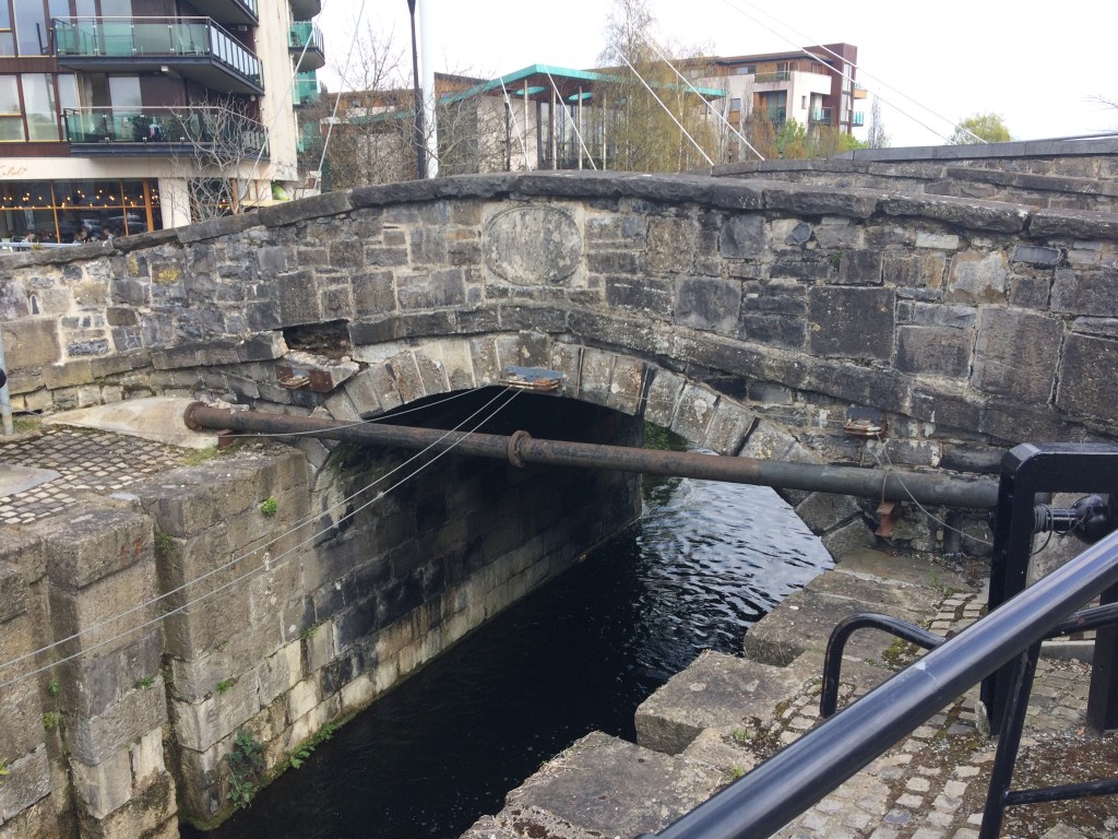
Starting at the Lifting Bridges over the Sea Lock at the Convention Centre Dublin it is 2.25km to Binns Bridge and the 2nd Lock in Drumcondra on the South Bank.


Crossing Binns Bridge at the traffic lights it is then 5.25km to Longford Bridge and the 10th Lock at Ashtown along the North Bank.
Crossing the new suspension footbridge beside Longford Bridge it is 5.15km to Keenan Bridge at Porterstown on the South Bank. You will know Keenan Bridge from the Memorial Plaque for the sinking of the Longford Passenger Boat which is located on the bridge after you cross it.

From Keenan Bridge it is a long 32.5km stretch on the North Bank before you will need to cross again at Enfield Bridge. There are a set of pedestrian lights at Enfield Bridge to help cross the road also.

Leaving Enfield Bridge it is 6.25km to the Moyvalley Bridges on the South Bank. Here you will rise up the new long ramp and cross over the canal to Furey’s Pub.

From Furey’s it is 10km to Ballasport Bridge on the North Bank.. Ballasport Bridge is in a remote location so is best to remember to cross the next bridge after the village of Hill of Down.
Crossing Ballasport Bridge it is 5.85km on the South Bank to D’Arcy’s Bridge. This is a long section for there to be no other bridges between them so all you need to remember is to cross the next bridge.

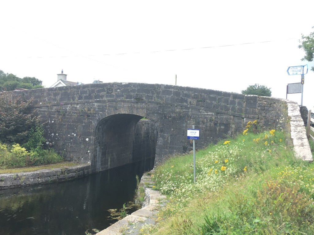
After crossing D’Arcy’s Bridge it is a short 1.3km stretch to Thomastown Bridge and the 18th Lock on the North Bank. This is also the location of Nanny Quinn’s pub.
Crossing Thomastown Bridge to the South Bank we start up the flight of locks as far as Riverstown Bridge and the 22nd Lock, a distance of 1.85km. Cunningham’s Pub and shop will be signposted at Riverstown Bridge.

Crossing Riverstown Bridge at the 22nd Lock we continue on up to the Summit Level on the North Bank for a distance of 3.3km before reaching McNead’s Bridge at Mary Lynch’s pub, just after we pass under the N4.

Crossing McNead’s Bridge we have a long section of 17.2km on the South Bank, passing the whole way through Mullingar to Belmont Bridge where you will see a sharp rise up to the bridge level.

Crossing Belmont Bridge we have the shortest single section of .65km on the North Bank as we get to Ballinea Harbour and Bridge. Coming up from the harbour car park, you can cross the original canal bridge before dropping down on the other side before the new road bridge beside it.
Continuing on the South Bank from the Ballinea Bridges we travel a distance of 15.6km as far as Kelly’s Bridge at the 38th Lock, descending all the way down from the 26th Lock at Coolnahay.
Crossing Kelly’s Bridge at the 38th Lock we travel 5.65km as far as Webb Bridge in Abbeyshrule Village on the North Bank, crossing into Co. Longford along the way. The Rustic Inn pub is located on the South Bank just before Webb Bridge.

After crossing Webb Bridge we have another long stretch of 18.55km along the South Bank before reaching Island Bridge at Mosstown Harbour just outside Keenagh. Island Bridge is a relatively new bridge and requires caution crossing the main road as you cross the bridge to the other side.

From Island Bridge at Mosstown Harbour it is a short 1.45km section on the North Bank to Coolnahinch Bridge at the 41st Lock.

Crossing back to the South Bank at Coolnahinch Bridge at the 41st Lock it is 3.1km to the Ballinamore Bridges. The Ballinamore Bridges are made up of an original canal bridge and a modern road bridge. Again caution is needed crossing the main road here as you also cross the canal.
Bank on the North Bank after the Ballinamore Bridges it is 3.2km on the North Bank to Aghnaskea Bridge and the 43rd Lock, passing the Longford Branch Junction along the way.

Crossing Aghnaskea Bridge to the South Bank with the church it is then a final 6.5 km to the end of the Royal Canal at the 46th Lock after Richmond Harbour. Caution is needed crossing the main road at the Begnagh Lifting Bridge but you still remain on the South Bank of the canal.

After navigating all those bridges why not watch a take a minute to look a video of all the crossing points of the Royal Canal (there are about 120 in all).
Part 1: North Wall to Cross Guns Bridge
Part 2: Cross Guns Bridge to Castleknock
Part 3: Castleknock to Leixlip Confey
Part 4: Leixlip Confey to Maynooth
Part 7: Thomastown to Mullingar Harbour
Part 8: Mullingar to Coolnahay
Part 9: Coolnahay to Ballynacargy Bridge
Part 10: Ballynacargy to Abbeyshrule
Part 11: Abbeyshrule to Ballybrannigan
Part 12: Ballybrannigan to the 41st Lock
Part 13: 41st Lock to Richmond Harbour

3 replies on “A Guide to Staying on the Correct Side of the Royal Canal”
I’ll just leave this here as a salutary lesson…
(with apologies for hijacking the post).
LikeLiked by 1 person
That’s a fantastic read. It’s definitely on the the to do list alright. Dolly Parton though? Really? 🤣
LikeLiked by 1 person
Yea. Bit of a shocker… 😉
LikeLike