The Barrow Line Race #BLR30 is the first of three events that make up the Irish Canal Ultra Series. The inaugural event will take place on Saturday 21 May 2022 and is now open for entry on Pop Up Races.

The race follows the path of the Barrow Line of the Grand Canal north for 30 miles from the canal junction with the River Barrow at the 28th Lock in Athy (google maps) to the village of Robertstown (google maps), passing through mostly rural countryside but also the towns of Monasterevin and Rathangan. The route has a total climb of 10 Locks.
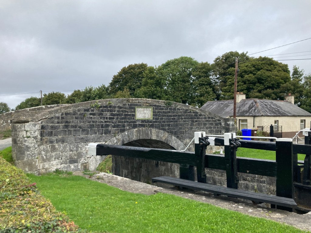
Runners will gather at the finish line in Robertsown before being getting a bus down to the start line in Athy.
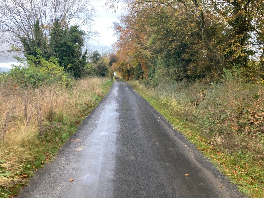
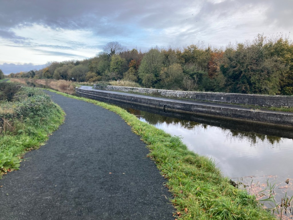
Considerable work has been done in recent times to improve the path of the canal which now has a compacted smooth stone surface for about 50% of the route but runners should be aware there are several areas where this path is a shared space with local access vehicles and some of the bridges carry main roads that they may need to cross. The rest of the route is made up of grassy trails. The route is easy to navigate and includes only a very small climb over the total distance with long flat stretches between the locks.
It is recommended that runners carry their own supplies for the day but a small number of aid stations will be available at checkpoints along the route.

From the start line runners will climb up past the 27th and 26th Locks as they run through Athy heading north towards Milltown Bridge (google maps) and Castlemitchell GAA Club before passing from County Kildare into County Laois.

It is a 21km stretch before we will meet the 25th Lock just south of Monasterevin which is also the first point at which runners must cross over the canal.
10km into the run runners will pass over the River Stradbally on the Camac Aqueduct before reaching the small village of Vicarstown.
Vicarstown Bridge (google maps) is an ideal location for supporters to meet their runners. It should be noted that Vicarstown is home to a parkrun event which may be on at the same time runners will be passing through the area. Please be mindful and respectful of the runners participating in parkrun.

5km further on from Vicarstown runners will come to Fishertown Bridge (google maps) which is another good spot for supporters to cheer on runners.

North of Fishertown Bridge runners will pass under the M7 Motorway before re-entering County Kildare on the approach to Monasterevin, the main town on route and just short of the halfway point.

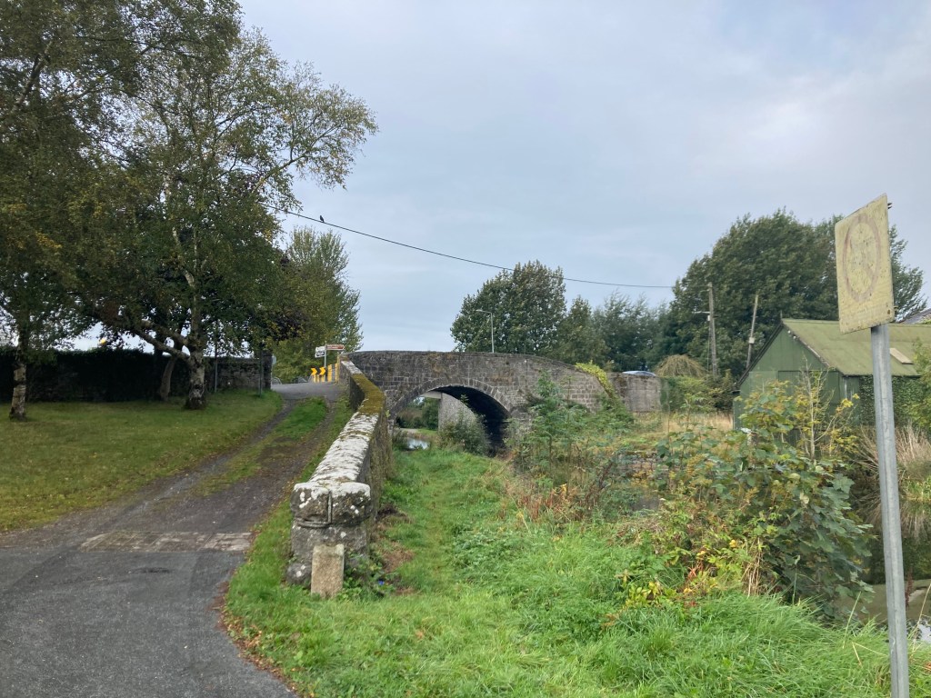
Coming into the town runners must briefly leave the canal bank approaching Clogheen Bridge rising up and crossing over the main road before dropping down to the canal again on the other side.
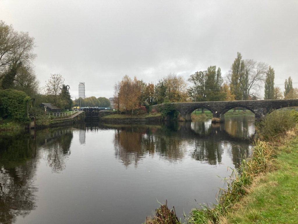
Moore’s Bridge at the 25th Lock in Monasterevin will be the first time runners need to cross over the canal. Some awareness is required going through Monasterevin as it has a maze of waterways including the Barrow Line of the Grand Canal, the now derelict Mountmellick Branch of the Canal and the River Barrow itself.

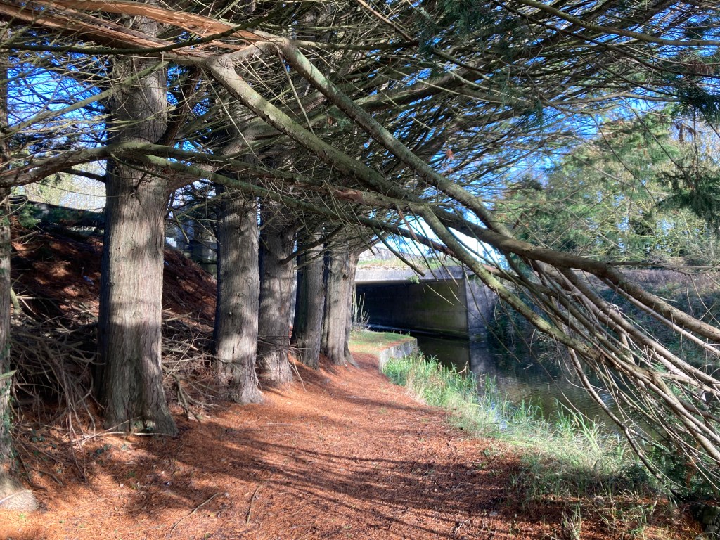
After crossing over the canal, the canal itself crosses over the Barrow Aqueduct and continues north. The Lifting Bridge (google maps) by the Harbour in Monasterevin is another good location for supporters see runners.

2km north of Monasterevin runners will ascend up past the double chambered 24th Lock at Macartney’s Bridge.

It is then 7km’s of flat ground to the double chambered 23rd Lock at Spencer Bridge on the south side of Rathangan passing Umeras Bridge and Wilson’s Bridge. Once past Wilson’s Bridge it is a solid stone or road surface for the last 15km to the finish.

Rathangan Bridge (google maps) is less than 1km further on.
There is a Top Garage at the bridge which has a shop for supplies and is another good spot for supporters to see their runners.

It is 4km on to the 22nd Lock at Glenaree Bridge (google maps) and a further 5km to the 21st Lock at Ballyteague.

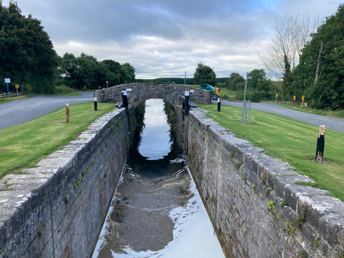
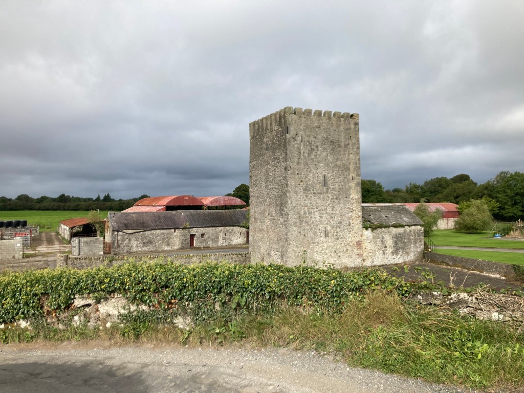
A very short distance separates the 21st and the 20th Lock, both in Ballyteague and after passing the 20th Lock it is necessary to cross the canal over the concrete bridge (google maps) beside the castle.
The runners are now on the approach to Lowtown where the Barrow Line divides between the new line on the left and the old line on the right. For the purposes of the race the runners will cross back over the Canal at Ballyteague Bridge (google maps) and follow the old line past the old 19th Lock.

A short distance past the old 19th Lock Runners will see the Huband/Greene Bridge over the Milltown Feeder which comes from Pollardstown Fen and is the water source for much of the Grand Canal.

Caution is needed approaching Littletown Bridge (google maps) beside the Travellers Rest as runners will have to cross a main road as the ascend up the bridge and down the other side.

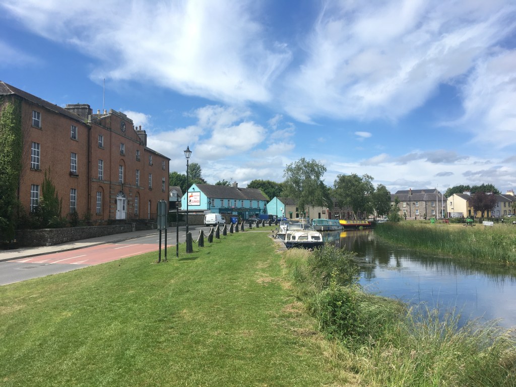
It is 1.4km from Littletown Bridge to the 19th Lock at Lowtown where the Barrow Line meets the Main Line of the Grand Canal. On reaching the 19th Lock Runners cross Fenton Bridge (google maps) turning right for the final approach to Robertstown and the finish line.
Soup, sambos and coffee will be provided at the finish line by DB Beans. Robertstown is also home to Weld’s, Dowling’s, Mullaney’s Pubs and Robertstown GAA.
| Location | Miles | KM |
| Start – Athy to Vicarstown | 6.7 | 10.8 |
| Vicarstown to Monasterevin | 7.35 | 11.8 |
| Monasterevin to Rathangan | 6.6 | 10.6 |
| Rathangan to Lowtown | 7.7 | 12.4 |
| Lowtown to Robertstown – Finish | 1.65 | 2.6 |

2 replies on “Irish Canal Ultra Series: Barrow Line Race 30 Mile”
All the very best of luck for a safe, enjoyable and, by all account, beautifully scenic run out today. Great initiative and amazing contribution to positive wellbeing. Congrats.
LikeLike
All the very best for a safe, enjoyable, and by all account, beautifully scenic run out today. Great initiative and contribution to positive wellbeing. Bravo!
LikeLike