Categories
Irish Canal Ultra Series Run Reports

Barrow Line Race – 30 Mile Event Report

Well I guess I should start the run report by saying that the first outing of the Barrow Line Race wasn’t on the Barrow Line but ran from Tullamore to Robertstown on the main line of the Grand Canal. That was because of ongoing works on the Barrow Blueway between Monasterevin and Rathangan. That said when this work is finished, hopefully by August 2022, it will make the next event on the Barrow Line all the better.

Ongoing works on the Barrow Line

The second thing I should own up to is that the route we used on Saturday wasn’t 30 miles but was slightly over 31.5 miles. For some this worked out well as it brought them over the 50km mark which they were delighted for but I apologise to those who found the unexpected extra distance tough on what was already an ultra event day. Anyone interested in a GPX of the route can view it on Gary O’Grady’s Strava HERE.

Clondalkin Flyers Adam Tuite, Gary O’Grady and Eoin McLean

After meeting at the finish area in Robertstown, 25 intrepid runners made their way to the start line in Tullamore on the bus. This included three members each from Blackrock A.C., Clondalkin Flyers and Donadea R.C., a two times Spartathlon finisher, a runner who came all the way up from Cork, seasoned Ultra veterans and first time Ultra runners. The weather was fair and the stage was set for the 17 men and 8 women who set off at 8:54am.

Video of the runners setting off

The start of the race took the runners out east of Tullamore climbing up from the 26th Lock to the 21st Lock near Ballycommon where the old Kilbeggan Line of the Grand Canal branches off.

Stocks at the first bag drop encase any of the runners considered dropping out early

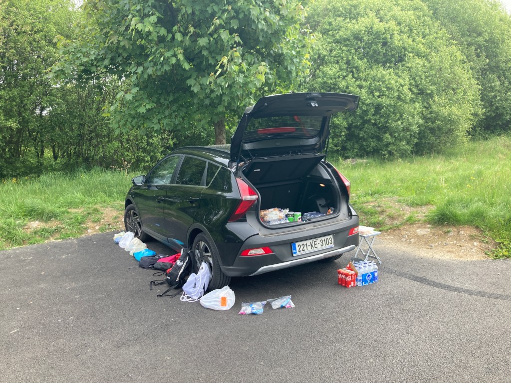
The first bag drop area was set up just before Molesworth Bridge at Daingean and it wasn’t long after the event crew set up that supporters for the runners also appeared with people from both Clondalkin Flyers and Blackrock A.C. there to cheer on their runners.

Race Leader Ted Burke having a drink at the first bag drop surrounded by supporters from Blackrock A.C. and Clondalkin Flyers

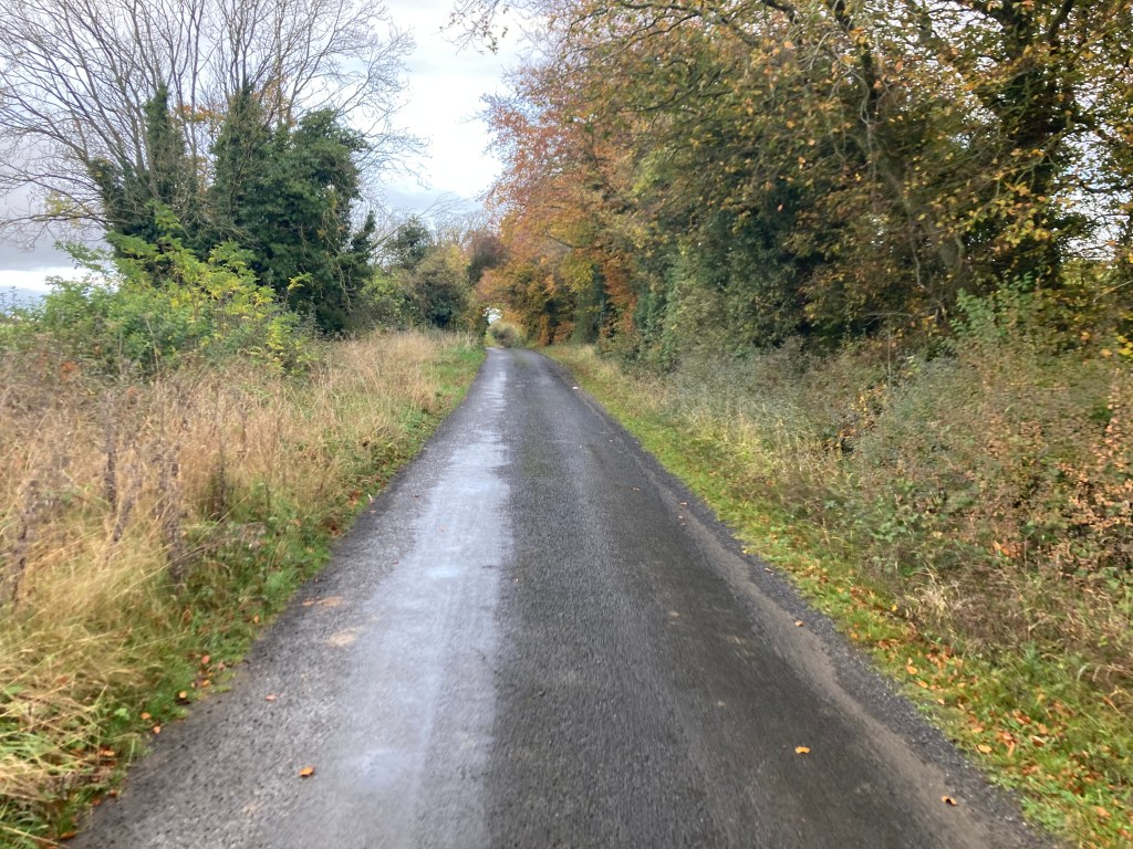
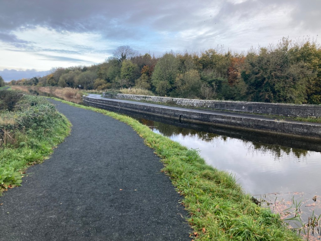
Once past Daingean, runners were on the long flat greenway path towards the second bag drop at George’s Bridge at Edenderry.

Bag drop 2 at Edenderry, keeping things simple. Coke, water and a boot full of carbs

Unfortunately two of our runners had to call it a day at Edenderry and many thanks to our event crew Colin for giving the two lads a lift back to Robertstown.

Poor Andrew Meehan had to call it a day after reaching bag drop 2 and got a lift back to the finish with event crew Colin

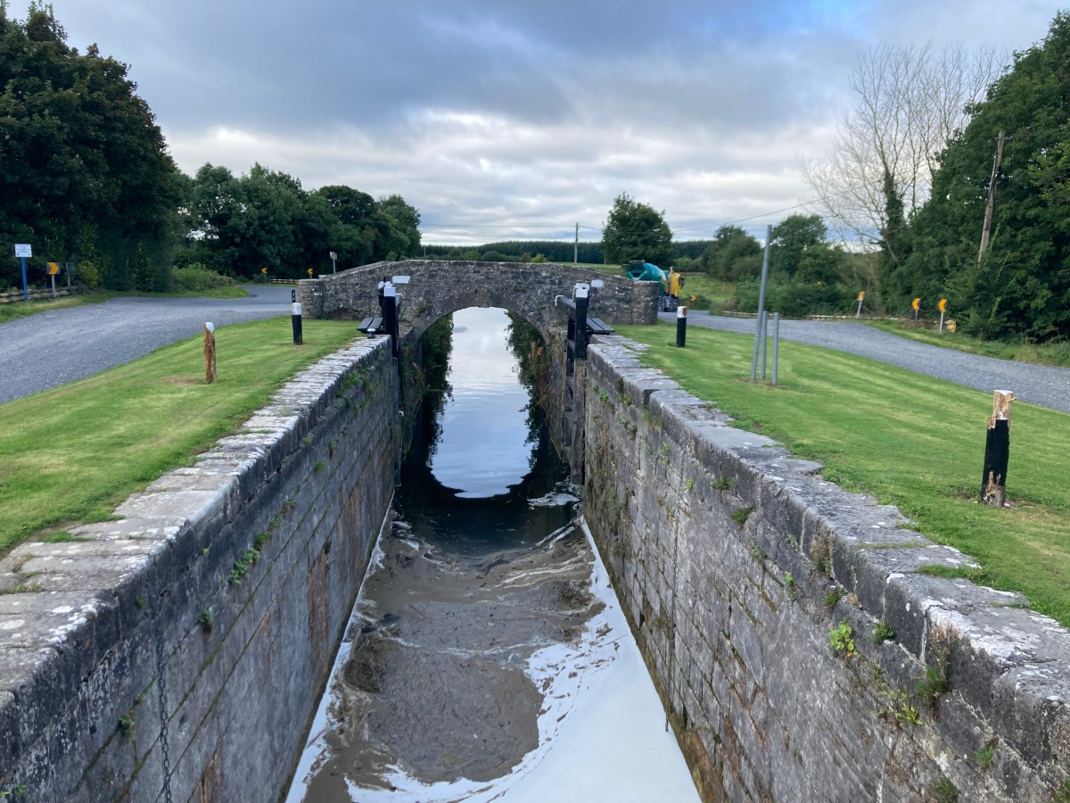
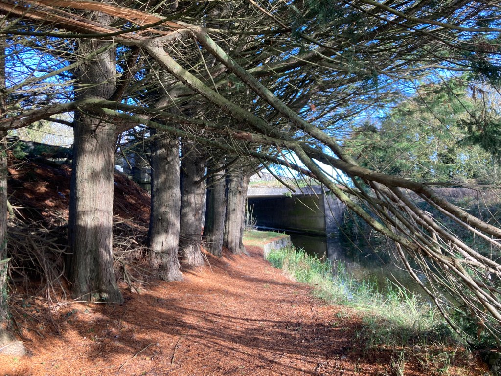
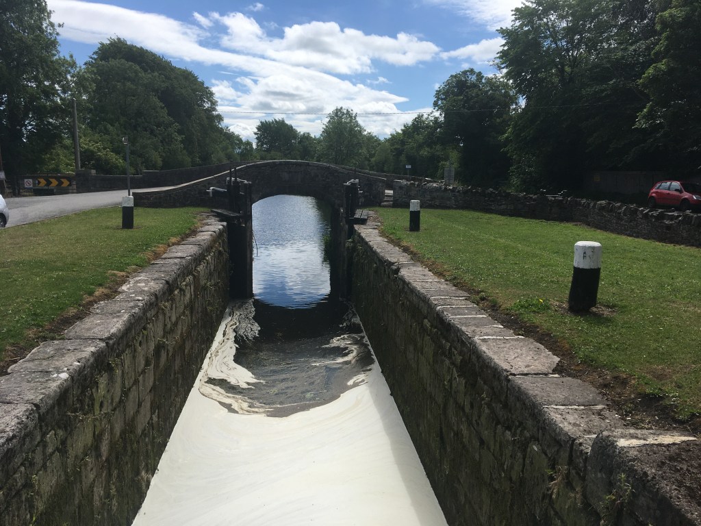
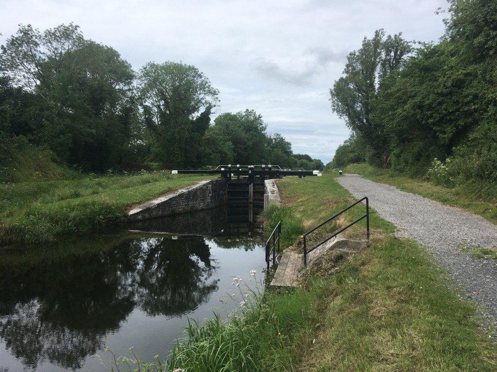
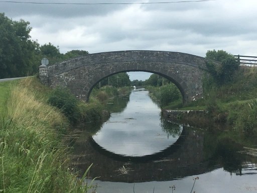
After passing Edenderry came the long slog on soft ground as the runners left the comfort of the path behind and took to the grassy trail as far as the 20th Lock at Ticknevin. From here it got complicated as the tired runners had to navigate the crossing points at Hamilton Bridge and Shee Bridge, thankfully the only time the canal had to be crossed on the run.

Hamilton Bridge, one of bridges that runners crossed over the canal

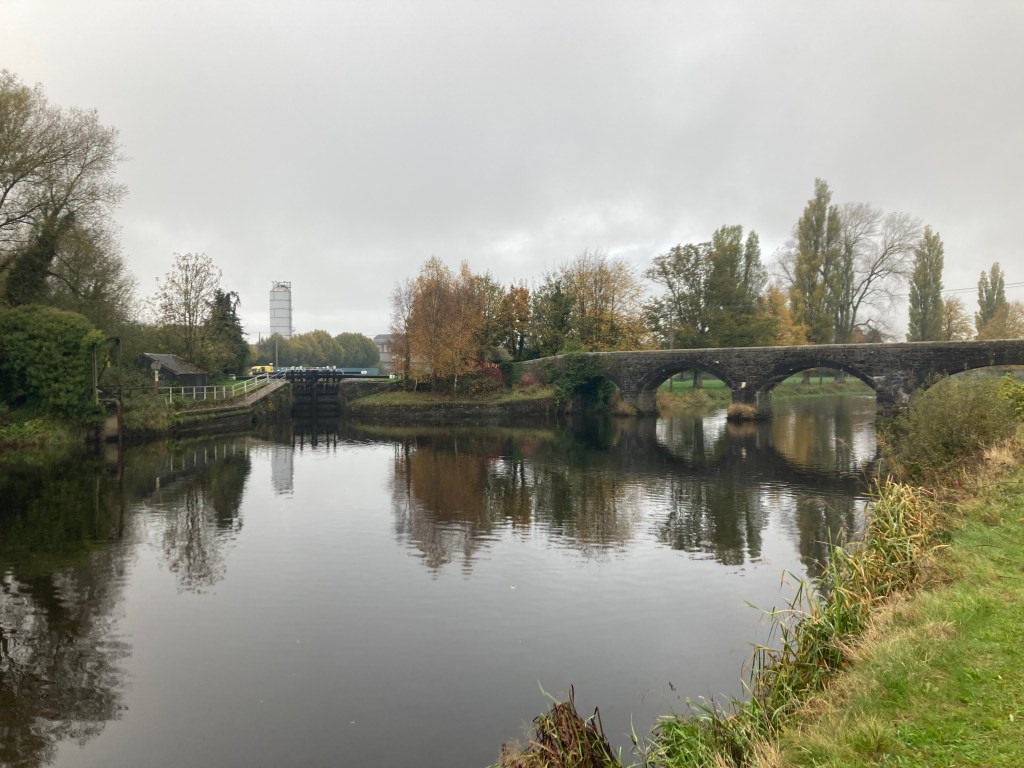
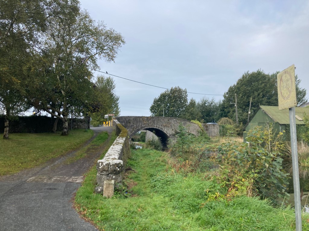
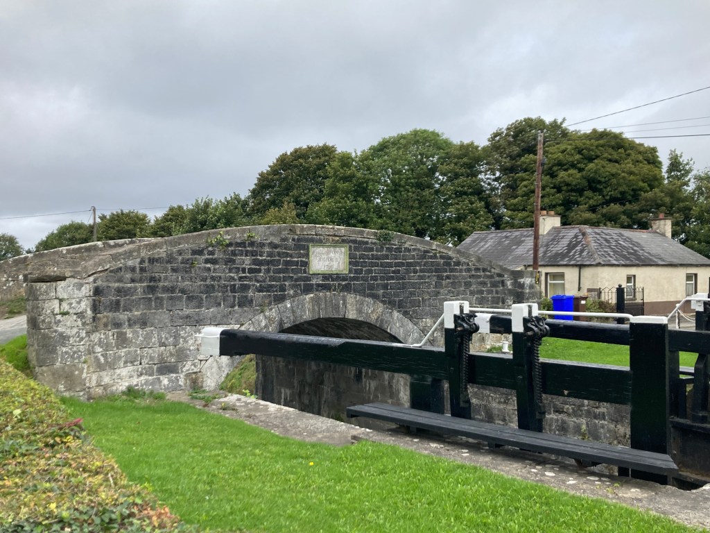
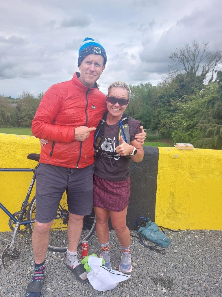
Finally as they pushed through the 30 mile mark they had to face the final challanges of the extra distance as well as a steep climb up Binn’s Bridge at Robertstown to the finish line. This finish was rewarded first by a can of coke and soon after presentation of the finishers medal and t-shirt.

John Chapman feeling the burn of the climb to the finish

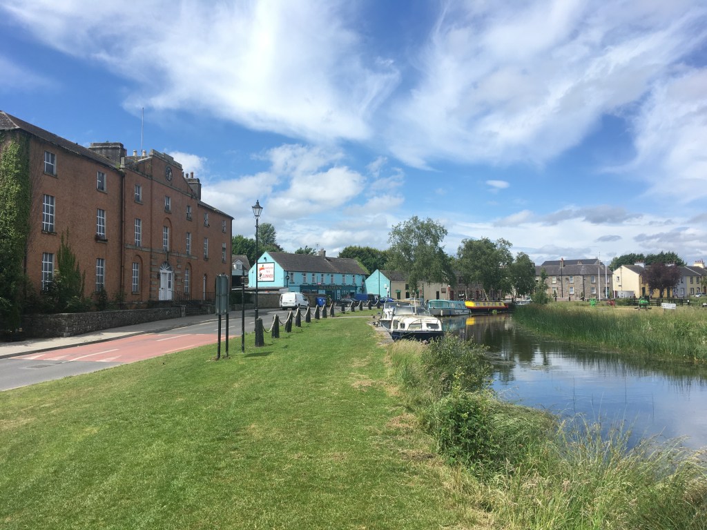
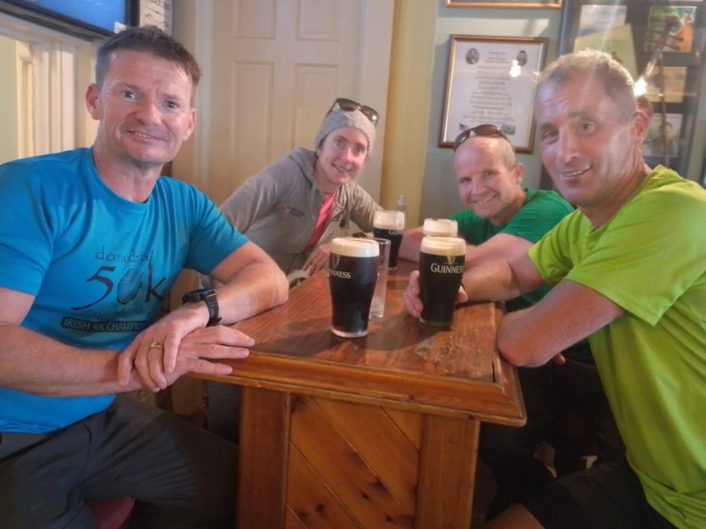
Of course we could not leave the runners with just that so once more they were sent across the canal to Charlie Weld’s pub where they could grab a cool pint or an iron supplementing pint of Guinness.

James Kelly, Anne Jennings, Damian Jenkins and Niall Delaney enjoying a well earned pint in Weld’s after the run

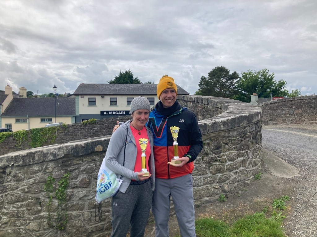
Ted Burke was the first man home in a time of 4:10 and Anne Jennings was the first woman home in a time of 4:30. The full results from the event can be viewed HERE.

Race winners Anne Jennings and Ted Burke
The legend that is Larry Rigney
2nd Woman Valeria Sofia
Anto with Tasha O Sullivan
Paul Bookle coming in for the finish
Gill Worley savouring some Coke after finishing her first Ultra
Race Organisers Gary and Anto with James, Pat, Valeria and Ted of Blackrock AC
Adam Tuite with the best support crew on the day!

So well done to all the finishers on the day. We really hope you enjoyed it and that you will be back next year for the real Barrow Line Race and hopefully a few more events. For those of you who haven’t had quite enough, rumour has it the Donadea 50K is open for entry…

Finishers Medal
Categories
Irish Canal Ultra Series

Irish Canal Ultra Series: Barrow Line Race 30 Mile

The Barrow Line Race #BLR30 is the first of three events that make up the Irish Canal Ultra Series. The inaugural event will take place on Saturday 21 May 2022 and is now open for entry on Pop Up Races.

28th Lock where the race starts

The race follows the path of the Barrow Line of the Grand Canal north for 30 miles from the canal junction with the River Barrow at the 28th Lock in Athy (google maps) to the village of Robertstown (google maps), passing through mostly rural countryside but also the towns of Monasterevin and Rathangan. The route has a total climb of 10 Locks.

The finish at Robertstown

Runners will gather at the finish line in Robertsown before being getting a bus down to the start line in Athy.

Junction of the Barrow Line and the Barrow River, Athy

Considerable work has been done in recent times to improve the path of the canal which now has a compacted smooth stone surface for about 50% of the route but runners should be aware there are several areas where this path is a shared space with local access vehicles and some of the bridges carry main roads that they may need to cross. The rest of the route is made up of grassy trails. The route is easy to navigate and includes only a very small climb over the total distance with long flat stretches between the locks.

It is recommended that runners carry their own supplies for the day but a small number of aid stations will be available at checkpoints along the route.

27th Lock from Augustus Bridge

From the start line runners will climb up past the 27th and 26th Locks as they run through Athy heading north towards Milltown Bridge (google maps) and Castlemitchell GAA Club before passing from County Kildare into County Laois.

Surface after the 26th Lock

It is a 21km stretch before we will meet the 25th Lock just south of Monasterevin which is also the first point at which runners must cross over the canal.

Shared space road approaching Milltown Bridge – Canal is on the right

10km into the run runners will pass over the River Stradbally on the Camac Aqueduct before reaching the small village of Vicarstown.

Stone surface approaching Vicarstown over the Camac Aqueduct

Vicarstown Bridge (google maps) is an ideal location for supporters to meet their runners. It should be noted that Vicarstown is home to a parkrun event which may be on at the same time runners will be passing through the area. Please be mindful and respectful of the runners participating in parkrun.

Vicarstown Bridge

5km further on from Vicarstown runners will come to Fishertown Bridge (google maps) which is another good spot for supporters to cheer on runners.

Fisherstown Bridge

North of Fishertown Bridge runners will pass under the M7 Motorway before re-entering County Kildare on the approach to Monasterevin, the main town on route and just short of the halfway point.

M7 Passing over a shared space road by the canal/

Coming into the town runners must briefly leave the canal bank approaching Clogheen Bridge rising up and crossing over the main road before dropping down to the canal again on the other side.

Approach to Clogheen Bridge is extremely narrow so it is best to divert up and over the main road and back down the other side.

Moore’s Bridge at the 25th Lock in Monasterevin will be the first time runners need to cross over the canal. Some awareness is required going through Monasterevin as it has a maze of waterways including the Barrow Line of the Grand Canal, the now derelict Mountmellick Branch of the Canal and the River Barrow itself.

Looking back at Moore’s Bridge from the 25th Lock

After crossing over the canal, the canal itself crosses over the Barrow Aqueduct and continues north. The Lifting Bridge (google maps) by the Harbour in Monasterevin is another good location for supporters see runners.

Lifting Bridge in Monasterevin

2km north of Monasterevin runners will ascend up past the double chambered 24th Lock at Macartney’s Bridge.

Approaching Macartney’s Bridge – This section is mainly a grass trail along the right handside bank of the canal.

It is then 7km’s of flat ground to the double chambered 23rd Lock at Spencer Bridge on the south side of Rathangan passing Umeras Bridge and Wilson’s Bridge. Once past Wilson’s Bridge it is a solid stone or road surface for the last 15km to the finish.

Wilson’s Bridge between the 24th and 23rd Locks

Rathangan Bridge (google maps) is less than 1km further on.

Rathangan Bridge

There is a Top Garage at the bridge which has a shop for supplies and is another good spot for supporters to see their runners.

22nd Lock at Glenaree Bridge

It is 4km on to the 22nd Lock at Glenaree Bridge (google maps) and a further 5km to the 21st Lock at Ballyteague.

Approaching the 21st Lock at Ballyteague

A very short distance separates the 21st and the 20th Lock, both in Ballyteague and after passing the 20th Lock it is necessary to cross the canal over the concrete bridge (google maps) beside the castle.

Ballyteague Castle as seen from the Bridge.

The runners are now on the approach to Lowtown where the Barrow Line divides between the new line on the left and the old line on the right. For the purposes of the race the runners will cross back over the Canal at Ballyteague Bridge (google maps) and follow the old line past the old 19th Lock.

Ballyteague Bridge which carries runners over the New Barrow Line to the Old Line on the right.

A short distance past the old 19th Lock Runners will see the Huband/Greene Bridge over the Milltown Feeder which comes from Pollardstown Fen and is the water source for much of the Grand Canal.

Huband/Greene Bridge on the Old Barrow Line

Caution is needed approaching Littletown Bridge (google maps) beside the Travellers Rest as runners will have to cross a main road as the ascend up the bridge and down the other side.

Littletown Bridge which carries a main road that runners must cross.

It is 1.4km from Littletown Bridge to the 19th Lock at Lowtown where the Barrow Line meets the Main Line of the Grand Canal. On reaching the 19th Lock Runners cross Fenton Bridge (google maps) turning right for the final approach to Robertstown and the finish line.

Fenton Bridge and the 19th Lock at Lowtown

Soup, sambos and coffee will be provided at the finish line by DB Beans. Robertstown is also home to Weld’s, Dowling’s, Mullaney’s Pubs and Robertstown GAA.

LocationMilesKM
Start – Athy to Vicarstown6.710.8
Vicarstown to Monasterevin7.3511.8
Monasterevin to Rathangan6.610.6
Rathangan to Lowtown7.712.4
Lowtown to Robertstown – Finish1.652.6
Distance Table
Categories
Grand Canal

Walking on the Grand Canal: Sallins to Robertstown

Leaving Sallins on the north bank of the Grand Canal we pass a Waterways Ireland service block and like the eastern side of Sallins Bridge there is always a good number of boats found tied up across from the old Odlums mill. It is a 12km journey to Robertstown.

Looking west from Sallins Branch

Not long after we leave Sallins we pass by the remains of an old dry dock on the opposite bank. If you look closely you can see the wall at the entrance of the now filled in dock which is also beside the access point to the tow path for the Naas Branch of the canal.

Wall of the filled in Dry Dock before the Naas Branch

Beyond the dry dock we come to the triangular Soldier’s Island and the junction with the Naas Branch. Past the island we pass under the new bridge that carries the Sallin’s Ring Road over the canal before we reach the Leinster Aqueduct which carries the canal over the River Liffey.

Leinster Aqueduct from the bank of the Liffey

Not far beyond the Leinster Aqueduct we find a rather unique circular stone overflow. The Guide to the Grand Canal refers to it as “the big pot, the little pot, the boolawn and the skillet”. The workings of the overflow are explained by The Helpful Engineer. It is an interesting albeit overgrown feature of the Grand Canal. It would be great to see the overgrowth cut back to see the actual workings of this unusual piece of engineering. The overflow itself would have spilled into a stream behind it that then flows down into the Liffey

The inner basin of the overflow west of the Leinster Aqueduct.

As we round the next corner we come to Digby Bridge and the 16th Lock. This bridge is one of two to bear the name Digby along the Grand Canal. Another can be found just east of Tullamore at the 25th Lock.

Digby Bridge with the 16th Lock behind it.

The canal path turns to grass again when we cross over the road but staying on the north bank of the canal. It is little over 1km to Landenstown Bridge and the 17th Lock. On the opposite side of the canal is the gate into Landenstown Estate which is boasts a Palladian country house and large farm in much need of renovation. Landenstown House was built for the Digby family around 1740. The Digby family who apart from being land owners in Kildare, at one stage also owned the Aran Islands. The house and grounds were owned and farmed by a German man from the 1940’s until the early 2000’s. Yeomanstown Stud purchased the vast property in 2017.

17th Lock Chamber and Landenstown Bridge

After Landenstown Bridge we have just over 1km of road to travel along before we join up again with a grass path as the canal takes a turn away from the road towards the 18th Lock.

Approaching the 18th Lock

It is 1.5km from the 18th Lock to the Burgh Bridge. It is usually around this stretch that you will hear hear the engines of the cars racing around nearby Mondello Park which lies just 1km south of the Bridge. Burgh Bridge boasts several rope grooves that would have been carved into the stone over the years by horses pulling barges past the bridge, a great reminder of the working past of the canal. It is worth looking out for rope grooves on many canal bridges.

Rope Grooves on the east corner of Burgh Bridge

It is nearly two 2km on the grass bank to Bonynge or Healy’s Bridge. At Healy’s Bridge it is best to come up and cross over to the other side to finish out the last stretch to Robertstown. Standing on top of the bridge you can see where the Blackwater Feeder once entered the canal to the right of the main line towards Robertstown. It once connected an artificial reservoir, Ballinafagh Lake to the canal but was closed in 1952 and is now partly filled in. The lake is now protected as a Special Area of Conservation.

Looking west from Healy’s Bridge

We are now on the final 2km approach to our destination at Robertstown. On reaching Robertstown you are greeted by what was the Grand Canal Hotel. A splendid hotel in the early life of the canal the hotel later became an RIC Barracks and also served as a community centre. Currently unused one can only hope it will find new life and not fall into dereliction much like the similar looking Grand Canal Hotel in Shannon Harbour.

Former Grand Canal Hotel

You will generally find several boats in Robertstown Harbour and there are several pubs, shops and a cafe in the village to stock up or get a feed. Robertstown Community Amenities Association are currently in the process of trying to restore Heritage Boat 52M. An outboard engine was fitted during the summer of 2019 and the barge made its own way down the canal to Shannon Harbour for an inspection to take place. I finish this section at Binn’s Bridge.

Binn’s Bridge, Robertstown.

Walking on the Grand Canal: Hazelhatch to Sallins

Walking on the Grand Canal: Naas Branch

Walking on the Grand Canal: Naas Harbour to Corbally Harbour

A Guide to Staying on the Right Side of the Grand Canal: Grand Canal Dock to Edenderry

A Guide to Staying on the Right Side of the Grand Canal: Edenderry Branch to Tullamore