
With the Dublin Marathon being held virtually for another year, Leixlip man Declan Kenny has organised a self supported marathon along the banks of the Royal Canal from the Hill of Down to Leixlip Confey which people can use to record a virtual Dublin City Marathon time on the DCM app or for people who just want to do a distance event in great surroundings. Details about signing up for the Down to Town Marathon can be found here. For those of you signed up, I hope you will find this post a useful guide to the route on the day along with the photos I have taken to help give you visual reference points along the way.

As Down to Town is a point-to-point marathon, the meet up point is at the finish area at the Confey GAA Club at the top of Captains Hill in Leixlip. Please note this is not the same as Leixlip GAA club which is on Green Lane. From there participants will take a bus departing at 9am to Hill of Down for a start time of 10am. In order to make up the correct distance, the start line is roughly 450 meters west of drop off point at Killyon Bridge which the participants will have to walk to. This will give you a good opportunity to warm up.


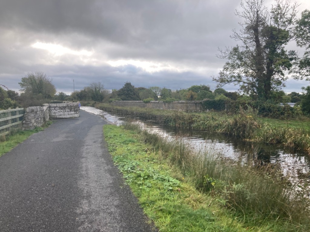
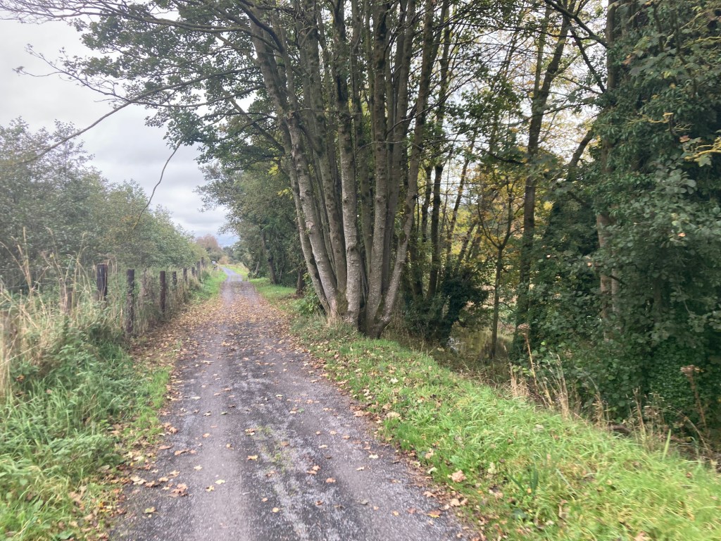
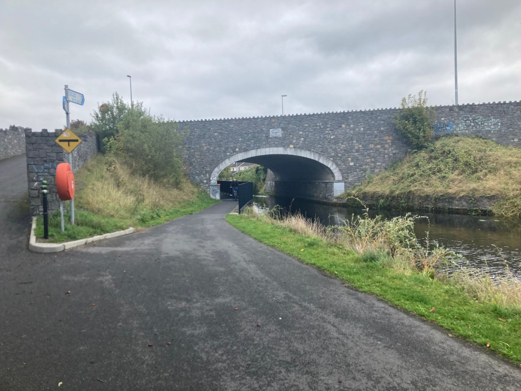
The marathon starts on the north bank of the Royal Canal Greenway (canal is on your right hand side) and it is a short distance of 450m to the first landmark we will come to, Killyon Bridge in the village of Hill of Down. Approaching the bridge, the path splits in two, one leading under the bridge and the other leading over it. The path under the bridge is narrow and caution is required but is still the better option as going over the bridge to the other side requires crossing a main road.

Leaving Hill of Down, it is 2.5km to the next major landmark, Blackshade Bridge. It is not possible to pass under the bridge so it is necessary for runners to run up a slope to the bridge and cross a main road before carrying on down on the other side, all the while remaining on the north bank of the canal.

After dropping down the other side of Blackshade Bridge it is a little over 2km before we come to the River Boyne Aqueduct which lies just to the west of Longwood Harbour.
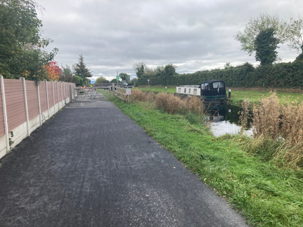
After passing over the River Boyne and the Longwood Road Aqueduct you will come into Longwood Harbour. As this is a self-sufficient marathon it is useful to know that there is a tap on the edge of the old cottage building in the harbour. There is also usually a horse-box coffee shop at the harbour should anyone want to get supplies early on. I will point out several places where supplies can be purchased close to the route as I go along. Unfortunately I cannot be certain that all of these will be open/working on the day.

Next up, leaving Longwood Harbour behind us, we come to the Ribbontail Footbridge and stop gates. These are just short of 2km beyond Longwood Harbour.

A further 2km east we come to Furey’s pub in Moyvalley and the first place we must cross over the canal to the south bank where the canal will now be on the runners left. Ascending up towards Furey’s Pub and Moyvalley Bridge, you will be on the old Galway road as you cross the canal bridge before descending down the ramp under the new Galway Road and continuing on the south bank.


Not long after coming down the ramp you will pass the 10k marker for the marathon as you run along a green fence that separates the Greenway from the Railway.

Just under 2km from Furey’s you will come to Kilmore Bridge. Like Killyon Bridge in Hill of Down, runners have the option to take the narrow path under the bridge or to rise up over it having to cross the road while doing so. There is a guard rail under this bridge so it is best to carry on under.
Less than 1km after Kilmore Bridge, runners will pass over the Blackwater Aqueduct.

Runners have a good straight run of 3.7km after the Blackwater Aqueduct to the next landmark of Enfield Bridge and the next crossing point of the canal. This is one of two major road crossing on the route that have pedestrian traffic lights. When you come up to the bridge it is worth knowing there is an Applegreen Service station about 100 meters to the right before crossing the road if you need any water or supplies. The pedestrian lights are very responsive to those using the canal so I recommend using the lights to cross the road which will also bring you back down on the north bank of the canal (canal is on your right hand side) which is the side you will stay on for the rest of the marathon.


Leaving Enfield behind we run for just over 2km before we reached a shared road space where cars may be driving along the same section of canal as we are running.
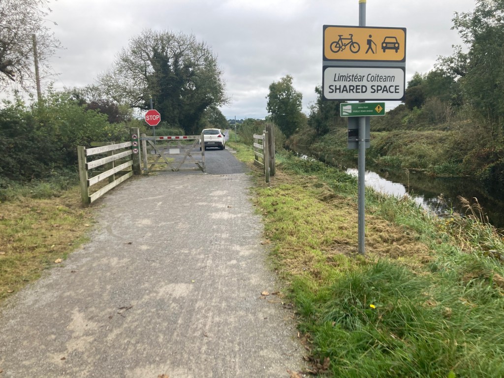

The road lasts for just less than 1km before we reach Cloncurry Bridge. Unfortunately we cannot pass under Cloncurry Bridge so please exercise caution as you rise up over it, across the road and down the other side. Any of you who are familiar with Lock Up the Year marathon may remember having to cross over the bridge here. This is no longer necessary, the Greenway continues on the north bank so please stick to the good surface and avoid the muddy trails of the south bank (unless that’s really your thing).


There are a few houses down the road on the other side of Cloncurry Bridge so be mindful you may have a car or two pass you along this section but it is unlikely. 2km on from Cloncurry Bridge you will reach a farm house with a pair of gates to the right. These gates are closer together than any of the gates we have gone through so far, reduce your speed as you pass through them.

Not long after passing through the gates you will reach the half way mark for the marathon before reaching the forest section.
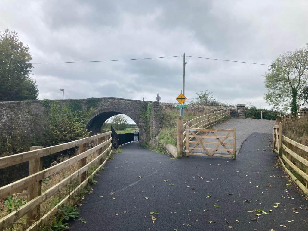
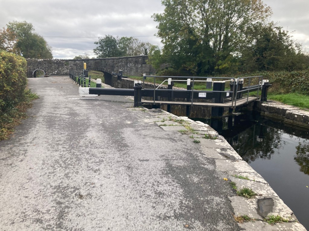
It is roughly 3.5km to the next landmark of the 17th Lock, known locally as Ferrans Lock. You have spent nearly 24km on the Long Level before reaching the 17th Lock which marks the start of the descent down into Leixlip. As we approach the 17th Lock you will see a gate off the road and the Greenway rises to the lock on the right before dropping down again, crossing the road at the railway crossing to carry on towards Kilcock.


After crossing the road at the 17th Lock it is just short of 3km to the next landmark of Allen Bridge, also known locally as Spins Bridge. This part of the route may be familiar to those of you who have done Royal Canal parkrun Kilcock. The path under Allen Bridge is fairly tight and this can be a busy section of Greenway so it may be useful to shout ahead as you approach encase you bump into somebody coming in the other direction.


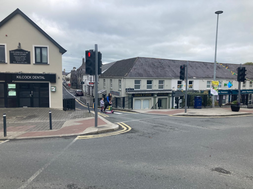
It is 1km from Allen Bridge to the 16th Lock and Shaw’s Bridge and the upper end of Kilcock Harbour. Dropping down by the 16th Lock you come to the second major road crossing of the route which have pedestrian lights. Unfortunately these lights are less responsive than those in Enfield so be prepared for a wait to get a green man to cross. There is a Supervalu in Kilcock to the left off the bridge if you really need any supplies at this point however it does require a diversion of 250 meters to get to the shop and another 250 meters to get back to the canal. Alternatively there is a Lidl just across the road on the edge of the town as you pass. The harbour in Kilcock also has several bins so is the first real opportunity to dispose of any rubbish you may have.


Less than 2km east of Kilcock you will come to Chambers Bridge at the 15th Lock. There is a double set of gates here and while it is unlikely that any cars will be moving around the bridge, the local residents can be coming or going so just keep an eye out.

Once past Chambers Bridge you are running alongside the grounds of North Kildare Club. As you are passing you are likely to see an open gate to a small shipping container that is usually open selling snacks, coffees and soft drinks and may be a useful place to have a quick pit stop if you need an energy boost. As mentioned before I cannot be 100% certain it will be open on the day but at time of writing it usually is on a Sunday morning.

You will notice that from the 17th Lock on, there tends to be more traffic along the Greenway from walkers to runners and cyclists so please be mindful and respectful of other users of the Greenway. A short distance after North Kildare Club you will pass under Bailey Bridge which now has a large concrete extension to cater for Greenway users but can have a bit of a blind spot for those coming in the other direction.

It is slightly less than 1.5km from Bailey Bridge to Jackson Bridge and the 14th Lock which marks the 32km of the marathon or more importantly, only 10km left to go. There is a low narrow pedestrian arch in Jacksons Bridge which can also be blind to people coming from below the lock so be cautious on approach.

After passing under Jackson Bridge you are running alongside the edge of Maynooth College and after nearly 2km you will come to Bond Bridge as you come into Maynooth. Like Allen Bridge, Bond Bridge is narrow and can be blind passing under it.
Out the other side of Bond Bridge you are on the last of the official Greenway section of the Royal Canal as you approach Maynooth Harbour 500 meters further on from the Bridge.
Maynooth Harbour is triangular in shape and requires you to run slightly towards the town and the harbour slipway before carrying on past the the playground towards Mullen Bridge. As you reach the slipway you will see the Harbour Field. If you look across the field you will see a set of traffic lights on the far corner, beyond which lies a newsagents and Supervalu in the Glenroyal complex should you want any supplies. If you do leave the course here it is possible to rejoin the canal by running up the ramp beside the hotel which will then drop you down the other side of Mullen Bridge. Like almost all the bridges we have encountered, when coming from the harbour, exercise caution as you pass under the bridge as the path us narrow. You will also pass under the ‘new’ road bridge.


As I mentioned earlier, the Royal Canal Greenway ends at Maynooth Harbour so the towpath isn’t as good from here on to the finish. That said it still have a stone surface from Maynooth Harbour to Pike Bridge and a little beyond which is over 2.5km before you reach a grass section. Some of the section can have large puddles though if it is wet.

A little after Carton Wharf at Pike Bridge we come onto the softest section of the course which lasts for about 1km to Deey Bridge.

As we get to the 13th Lock, we cross over a quiet road, however we must make our way through a set of kissing gates before crossing the road. The good news however is that we are back on solid ground for a bit on the other side.


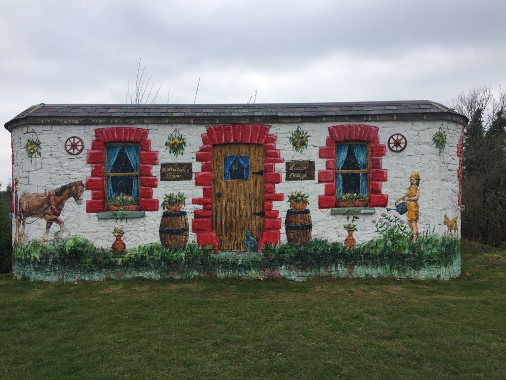
You are now running past Intel and Le Chéile Running Club as you approach Louisa Bridge, 1.5km beyond Deey Bridge. Again Louisa Bridge has a narrow approach and is blind to the other side.


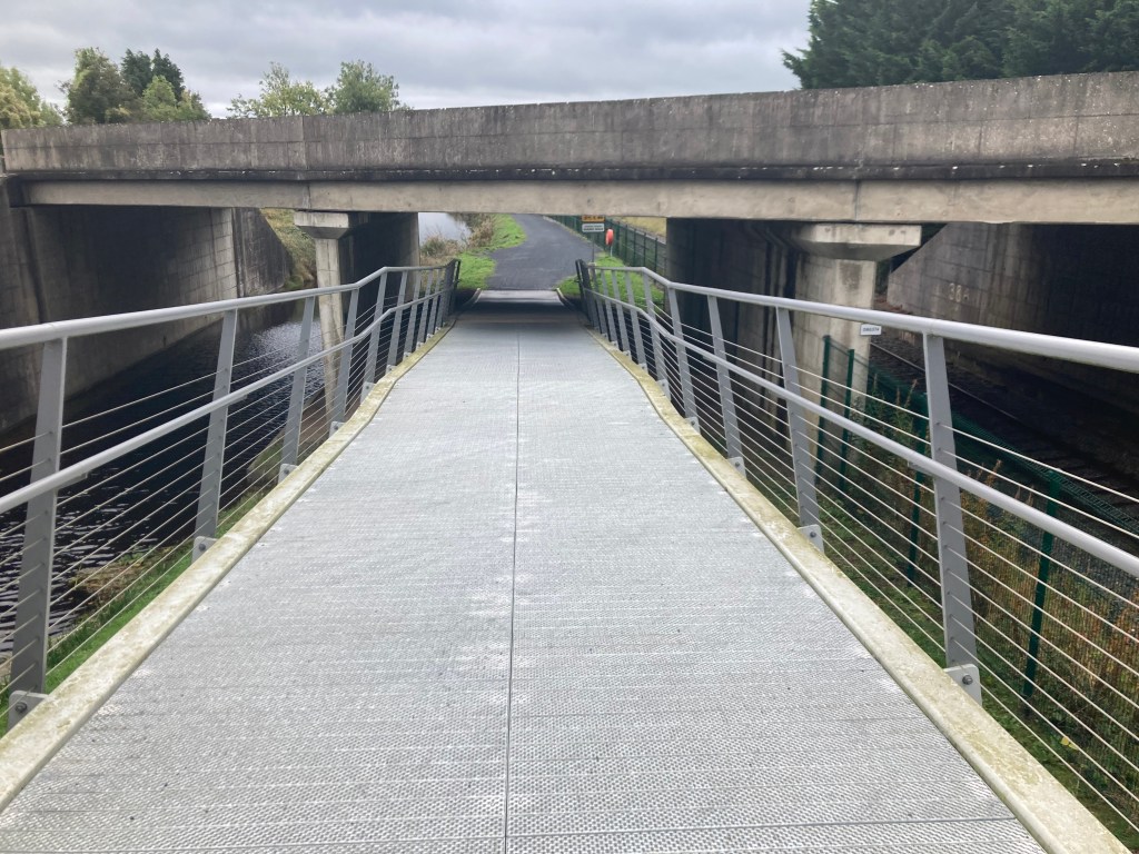
You are now on the final stretch of the Down to Town Marathon as you make your way across the Ryewater Aqueduct and past the Old Toll House.
You round one last corner before having less than 1km straight to the finish line.

When you finally reach the finish line, it is just a short hop across the road to Confey GAA where we all gathered at the start to grab the bus.

One final thing I have to add, you will see several portaloos along the route behind fencing. Unfortunately these are not for public use and are locked so they may as well be a mirage or an hallucination for all they are worth. Sadly, a few that had been put in recently for public use have already been burnt out.

I hope you have found this guide useful and I look forward to running with you on the day. – Gary aka the Royal Canal Runner.
